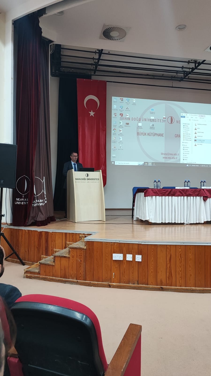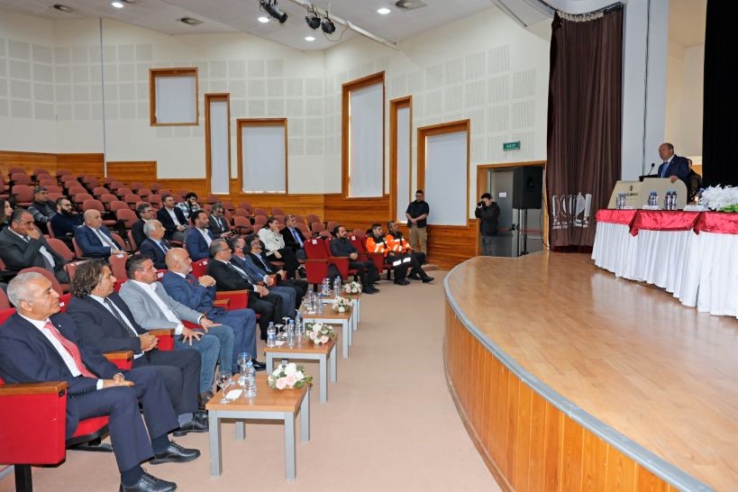
Hosted by the Near East University Faculty of Civil and Environmental Engineering, the panel “Cyprus Earthquake Facts and What to Do” was held with the participation of many academicians, chamber heads, earthquake experts and civil defense officials, and President Ersin Tatar at Grand Library Ümit Hassan Republic Hall.
President Ersin Tatar, Near East University Rector Prof. Dr. Tamer Şanlıdağ, Cyprus Turkish Chamber of Civil Engineers President Gürkan Yağcıoğlu, Earth Sciences Chamber President Oğuz Vadilili and Near East University Faculty of Civil and Environmental Engineering Dean Prof. Dr. Hüseyin Gökçekuş made the opening speeches.
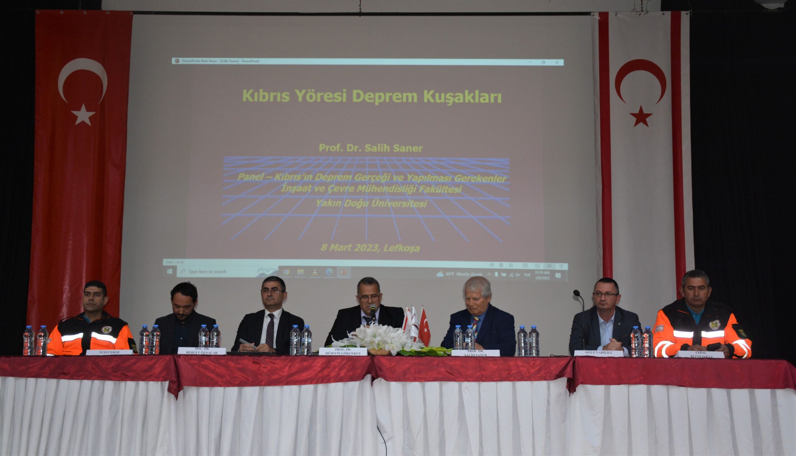
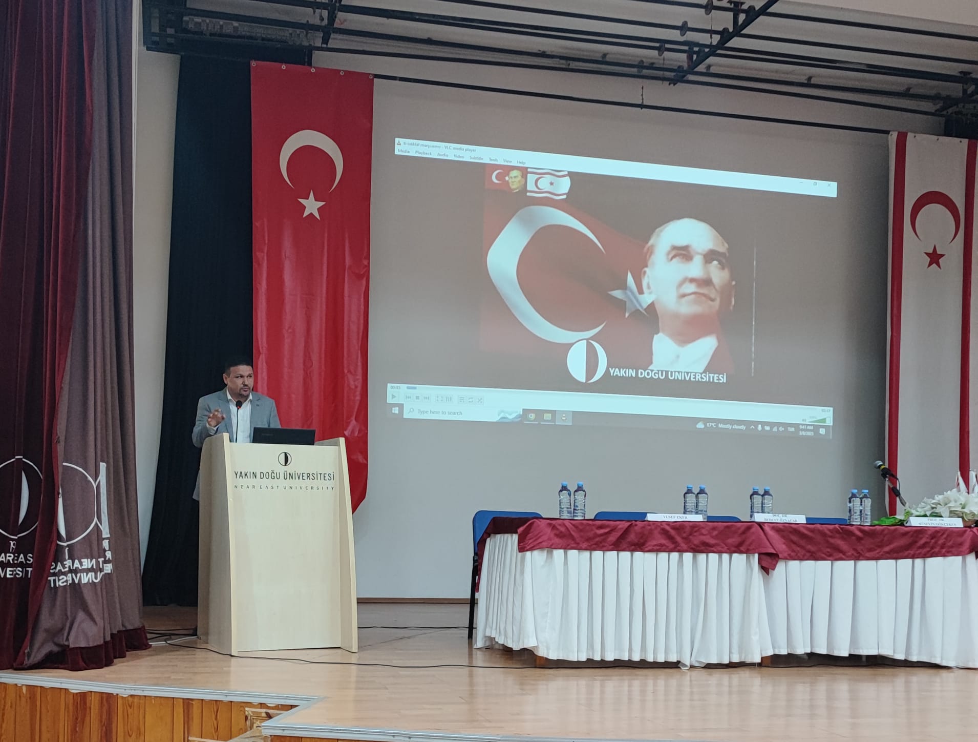
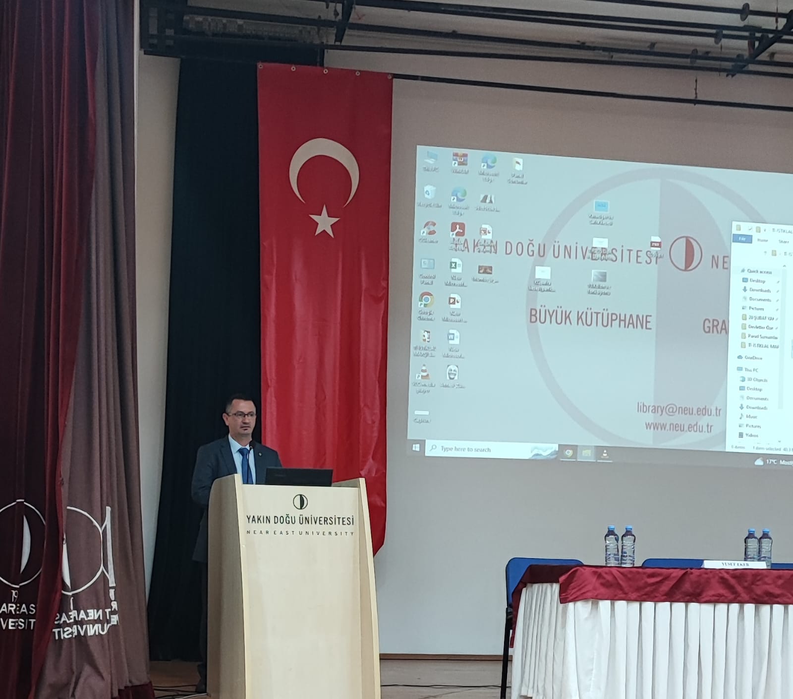
After the opening speeches, in the first session chaired by Prof. Dr. Hüseyin Gökçekuş, presentations were made respectively as follows; Prof. Dr. Salih Saner “Earthquake Zones in the Cyprus Region”, Chamber of Earth Science Engineers Oğuz Vadilili “Cyprus and Earthquake”, Assist. Prof. Dr. İsmail Safkan “Earthquake Hazard of Buildings in Cyprus”, Assoc. Prof. Dr. Behçet Öznacar “Disaster Management of TRNC”, TRNC Civil Defense Organization Presidency Operation Training Branch Manager Yusuf Eker “Earthquake Evaluation in the Light of TRNC Disaster Response Plan” and TRNC Civil Defense Organization İskele Regional Manager Cemal Betmezoğlu “Civil Defense Organization Presidency Disaster Combat Operations”.
In the second session chaired by Near East University Faculty of Engineering Lecturer Prof. Dr. Salih Saner, the presentations were made as follows; the Chairman of the Near East University Earthquake and Soil Research and Evaluation Center, who is also the Chairman of the TRNC Presidency Earthquake Committee, Prof. Dr. Cavit Atalar “Cyprus Earthquakes and Grounds”, Secretary General of the Chamber of Civil Engineers and METU NCC Lecturer Assist. Prof. Dr. Abdullah Ekinci “North Cyprus Soils and Behaviors Under the Impact of Earthquake”, Dr. Hilmi Dindar “Evaluation of Earthquake-Soil Interaction for Northern Cyprus with Geophysical In-Site Measurements”, Assoc. Prof. Dr. Rifat Reşatoğlu “Defects Observed in Reinforced Concrete Structures, Damage Types and Causes”, from METU. Prof. Dr. Zehra Çağnan “Current Probabilistic Earthquake Hazard Studies of the North East Mediterranean Earthquake Hazard”, Lecturer from Near East University Hüdaverdi Tozan “Determining the Earthquake Performance of Existing Buildings, Strengthening Decisions and Methods” and Dr. Mahdi Azizi, discussed the topics of “Using Vibration Control Systems in Buildings”.

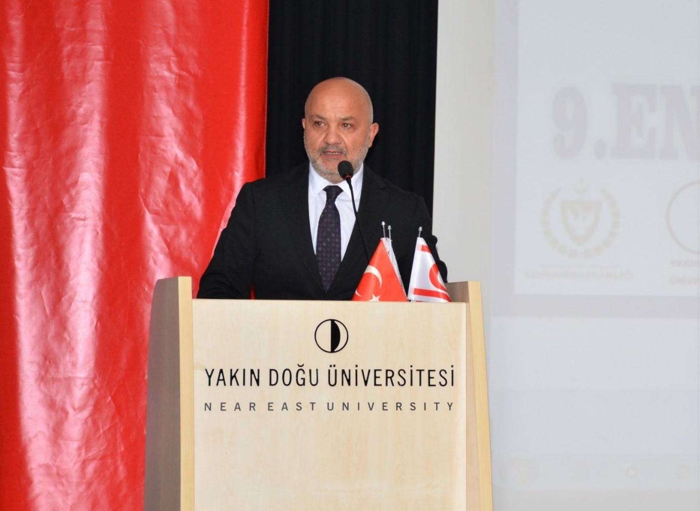
President Ersin Tatar: “I met with the Greek Cypriot leader Nikos Christodoulidis. I offered to cooperate with him on the earthquake.”
Speaking at the opening of the Cyprus Earthquake Facts and What To Do Panel, President Ersin Tatar said, “We have experienced many pains at the same time in the earthquakes we have encountered. We lost tens of thousands of people. The loss of our champion angels from Famagusta shook us all deeply. Condolences to all of us once again.”
President Tatar said, “The organization of such an important panel will be beneficial for everyone. As the Presidency, with the support of our different committees, we continue to actively work on the earthquake.” Stating that the earthquake was a preventable natural disaster, President Tatar said, “There is no longer any compromise. By using rapidly developing technology and science in the right way, both buildings, ground survey and building materials should be taken under control quickly. We have to protect our people by taking our own precautions.”
President Tatar said, “If we are faced with an earthquake in the future, we need to determine what needs to be done in order to minimize the damage of this earthquake with the help of science and institutional memory. Recently, I also met with the Greek Cypriot leader Nikos Christodoulidis. I advised him to cooperate with them on the earthquake. Considering that the earthquake was more effective in Southern Cyprus in the past years, I expressed that it should be considered how we can help each other.”
“We started the earthquake resistance checks of our buildings, with schools being the priority. In this country, the Union of Chambers of Turkish Cypriot Engineers and Architects, institutions and organizations, the Department of Urban Planning and municipal personnel have played a major role in the supervision of constructions.” saying President Tatar, thanked the Near East University for the panel they organized and added; “At the end of the workshop, evaluations and recommendations will be implemented.”
Prof. Dr. Tamer Şanlıdağ: “In order to survive a possible earthquake disaster in our country with minimum damage, we need to accurately determine the geological structure of our island and the earthquake risks.”
Near East University Rector Prof. Dr. Tamer Şanlıdağ said, “As of yesterday, exactly one month has passed since the earthquakes that took place in Turkey and affected 11 cities. According to the latest official statements, more than 46 thousand of our people lost their lives. Unfortunately, our young children, their families and teachers who went to Adıyaman to represent our country from Northern Cyprus, and many of our citizens caught in the earthquake in different cities, unfortunately lost their lives in this tragic disaster. Once again, I wish God’s mercy on our people who lost their lives, and I wish a speedy recovery to the injured.”
Stating that they are together to contribute to the creation of a road map to combat the earthquake risk of the TRNC, Prof. Dr. Tamer Şanlıdağ said, “Construction of structures resistant to earthquakes of the maximum size that can be experienced with correct soil analyzes and scientific structural engineering, determination of reinforcement requirements by analyzing existing structures and completing the reinforcement processes are the most important targets for us.”
Stating that all institutions and organizations have duties to stand up against the earthquake, Prof. Dr. Şanlıdağ said, “In order to survive a possible earthquake disaster in our country with the least damage; We need to accurately determine the geological structure of our island and the earthquake risk it carries. We need to guide the establishment of a strong disaster-fighting organization by creating earthquake-resistant structures and areas.”
Stating that science progresses by bringing together many different perspectives, Prof. Dr. Şanlıdağ said, “Today, the panel of the Cyprus Earthquake Facts and What to Do” hosted by the Near East University; I believe it is an important step to create a useful roadmap for our country by evaluating the risks we face and the measures to be taken against these risks in a wide range.”
Gürkan Yağcıoğlu: “An earthquake is a natural event. However, whether the earthquake turns into a disaster or not is directly proportional to how much importance we take and what precautions we take.”
Gürkan Yağcıoğlu, President of Cyprus Turkish Chamber of Civil Engineers, started his speech by saying “Now it’s time for us to face some facts.”
Yağcıoğlu said “An earthquake is a natural event, not a disaster. Whether an earthquake turns into a disaster or not is directly proportional to what we care about and how much we take precautions.” and further said, “A natural event does not turn into a disaster with a single mistake. The chain of mistakes made in a long and systematic way only brings heavy consequences in this way.“All necessary institutions and all projects have to be audited. Saying that there is no problem that cannot be avoided with discipline and responsibility, illegal floors and structures will only return as lost.
We need to do our duties as soon as possible. Our existing buildings need to be checked. We said that the buildings built before 1974 are risky.
Gürkan Yağcıoğlu, who said that they also started building controls, conveyed information about the earthquake controls they carried out in schools. “Our Prime Ministry authorized our chamber to determine the earthquake risks of schools in our country. We did our first survey in our schools. As we expect it to be, we have troublesome school buildings. We are currently doing a risk ranking. Afterwards, we will start further examination studies and determine the schools that need to be strengthened or rebuilt after the laboratory tests.”
Oğuz Vadilili: “For years, we have said that an effective building inspection is a must. Unfortunately, what we said could only find a response in the society after 6 February. If we do not want to experience earthquakes as disasters, let’s make building inspection legal as soon as possible.”
Oğuz Vadilili, President of the Chamber of Earth Science Engineers, said, “February 6 was a very painful day for all of us. But this painful day came in plain sight. In the report submitted to all authorized institutions in 2021, the Chamber of Turkish Engineers and Architects and the Chamber of Geological Engineers warned that there might be an earthquake with a magnitude of 7.4 in the Kahramanmaraş Pazarcık-centered region and that it was necessary to be prepared. This sad day was not fate. For this reason, we do not give our rights to anyone as geologists. It was said that the 1999 earthquake would be a milestone, now the same thing is said for the 6 February 2023 earthquake. No, we do not accept this earthquake as a milestone. Because if we accept this as a milestone, we will accept the same situation in the next earthquake.”
Vadilili said, “If we do not take the necessary precautions, the losses caused by earthquakes will continue. As earth scientists, we are trying to warn our country and nation on some issues by following the data we have.” Emphasizing the need to believe in science, Chairman Oğuz Vadilili said, “We, as earth scientists, report potential problems or dangers to our country. We are carrying out the necessary work on this subject without interruption. For example, in 2018, together with the Chamber of Civil Engineers, we standardized the ground surveys, which is the first stage of constructing earthquake-resistant buildings in the country, within the framework of the ground survey protocol. However, we said that an effective building inspection is a must, but unfortunately, what we said was only possible after 6 February.
As a society, we need to understand that we geoscientists are not doomsayers. We are people who put possible risks before society and authorities within the framework of science. I want to say it once again. Building control is essential.” Oğuz Vadilili also said “If we do not want to experience earthquakes as disasters in this country, let’s make building inspection legal as soon as possible. If we want to live without fear of earthquakes, building inspection needs to be strengthened. For this, the Union of Chambers of Cyprus Turkish Engineers and Architects and other relevant institutions have completed their legal order, and the statute will be submitted to the government for approval as soon as possible.” Addressing President Ersin Tatar, who was following the panel, Oğuz Vadilili said, “Measures and controls should not be on the agenda anymore after the earthquake. As it should be, all necessary inspections and measures should be taken before the earthquake. We need to see this not as an earthquake panic, but as a requirement of the right of the people to live in safe houses. Check the buildings. As engineers, we will make the necessary contribution.”
After the opening speeches, Oğuz Vadilili, Chairman of the Chamber of Geoscience Engineers, made a presentation on “Cyprus and Earthquake” in the first session of the panel, and gave information about the earthquake zones on the Cyprus map. “The Troodos and Beşparmak Mountains are the parts that will naturally be least affected by the earthquake as they have rocky ground. In the North of the island, the Mesarya Plain Region and the coastal areas are seen as the regions that will be more affected by the earthquake. When we expand this region to the South, we can add the coasts of Limassol and Larnaca.” Emphasizing that Cyprus is literally an earthquake island, Oğuz Vadilili said, “The subduction zone, which we call the Cyprus arc, is extremely active with its 35-40 degree slope in the west and south-west of the island. The Paphos region is important at this point. During the measurement period, 9 earthquakes with a magnitude of 6 and above were recorded on this arc. The slope between the Limassol – Larnaca sea area and the Hatay triple junction, which forms the southeastern and eastern segments of the subduction zone, has a slope of 20-25 degrees. Due to this slope difference, the earthquakes in this section have not been recorded as significant earthquakes in the last 100 years that can be measured. However, when we go back in history, we see with the knowledge of paleoseismology that very large earthquakes have occurred in this region as well. Therefore, looking at the data of the last 100 years, saying that the risk in this region is low can lead to dangerous results.
Mentioning the active fault map prepared by Mineral Research and Exploration Institution (MTA) in 2013, Oğuz Vadilili said, “The map created by MTA covers the quaternary, that is, 2.58 million years, and the faults that have formed surface ruptures since those dates have been taken as a basis. One of the basic rules of geology says that if a fault surface rupture has occurred, the earthquake experienced here will be repeated over time. Vadilili pointed out that the Değirmenlik Fault, which cuts the TRNC on land and is a segment of the Kyrenia-Misis zone, and the Dardere fault that develops parallel to it, and said, “These faults are also quaternary faults. Maybe the recurrence periods take thousands of years, but these should also be considered as active faults.”
Stating that the earthquakes measured in Cyprus in the current maps are larger in the southern region, Oğuz Vadilili said, “The acceleration maps of the earthquake for the island of Cyprus need to be reviewed. This issue is very important. For example, the faults in the area between Famagusta Bay and Hatay-Syria have not caused earthquakes for a long time. These types of faults are called seismic gaps and can produce large earthquakes when they complete their recurrence period. For this reason, the Cyprus arc should be considered as a whole from west to east when preparing maps. Benefiting from paleoseismology is a must. Cyprus is an earthquake island.”
At the end of his speech, Vadilili expressed his condolences for those who lost their lives in the earthquakes in Turkey and said, “Our condolences. We will never forget our angels and we will never let them forget.”
Prof. Dr. Hüseyin Gökçekuş: “The seismic risk shift needs to be re-evaluated without wasting time. In this way, it can be determined more clearly which regions are at risk.”
Starting his speech at the opening of the panel with the words “With this panel, we aim to discuss and determine everything that needs to be done in the face of the earthquake reality in Cyprus”, Near East University Faculty of Civil and Environmental Engineering Dean Prof. Dr. Hüseyin Gökçekuş said, “We lost a lot in the earthquakes in Turkey. We lost our people, our friends. We lost our children from Northern Cyprus. Our souls are still on fire. We will heal these wounds together.”
Prof. Dr. Hüseyin Gökçekuş, “We know that Turkey is a serious earthquake zone. However, with the earthquake that occurred recently, all the memorization was broken. The occurrence of multiple fractures and high-intensity earthquakes at short intervals at the same time was not a situation that anyone expected.”
Stating that the island of Cyprus is also faced with the reality of earthquakes, Prof. Dr. Gökçekuş emphasized that when we look at the history of Cyprus, there were significant earthquakes and Salamis, Paphos, Famagusta and Larnaca were affected as a region. Prof. Dr. Gökçekuş said, “We cannot say that there will be no earthquake for Cyprus, and when it happens, we cannot know from now what its destruction level will be. It is necessary to reassess the seismic risk shift by bringing together many experts from many different disciplines without wasting time. In this way, it can be determined more clearly which regions are at risk.”
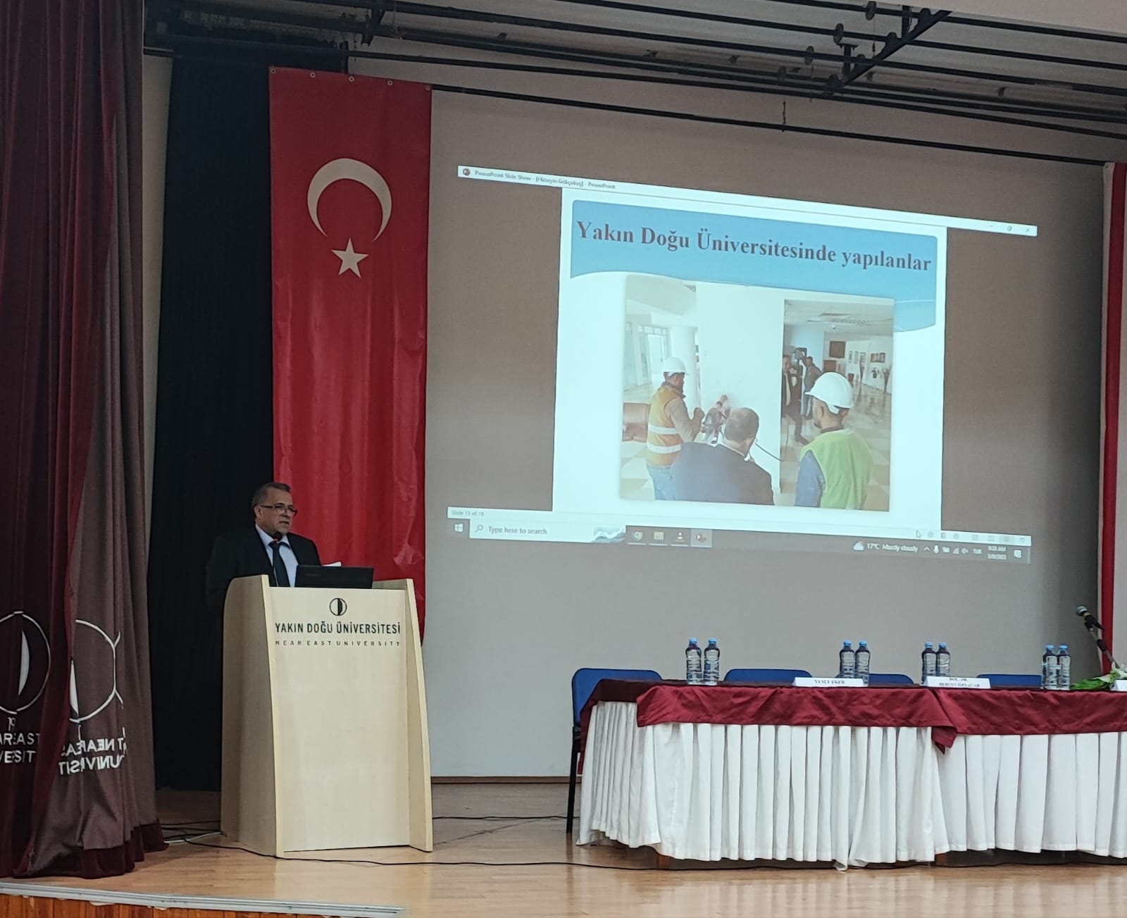
Stating that the resistance of the buildings against earthquakes should be analyzed, Prof. Dr. Gökçekuş reminded that they opened the Building Materials and Soil Mechanics Laboratory, which continues its activities within their faculty, to the use of the public. Prof. Dr. Gökçekuş said, “We started to evaluate the robustness of the existing structures with the buildings located on the Near East University campus. We measure the durability of the samples we take from the structures with the core drilling machine, by putting them through pressure tests in a laboratory environment. With the reinforcement scanning test, we quickly determine the diameter and density of the reinforcement bars used in structural elements such as columns and beams of buildings. After making the ground analysis, we analyze all the data with the relevant computer software and determine the reinforcement requirements of the buildings.
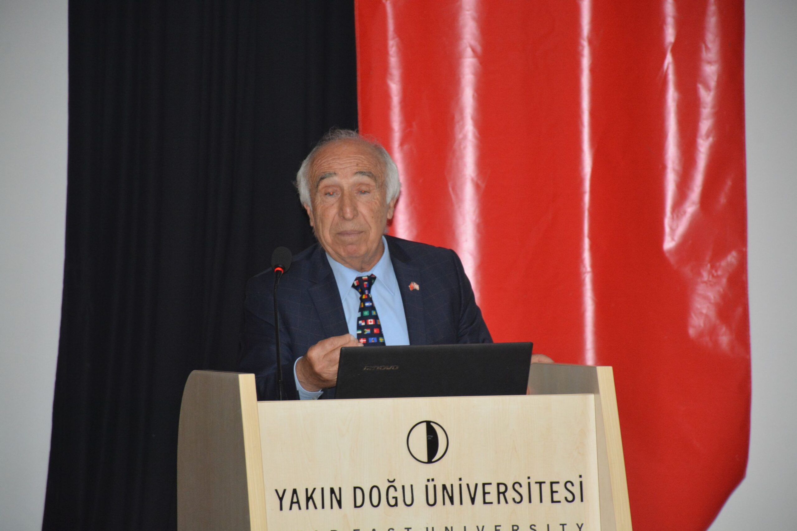
Prof. Dr. Salih Saner: “Cyprus is in the earthquake zone. However, TRNC is a third-degree earthquake zone according to Turkey’s norms.”
Near East University Faculty of Engineering Lecturer Prof. Dr. Salih Saner started his speech by describing the earthquake with the words “An earthquake is a wave, a destructive energy wave”.
Stating that the plates that make up the world are not interlocked and that they move from time to time, Prof. Dr. Saner gave information about the faults that caused the earthquake. Stating that the faults are divided into four types scientifically, Prof. Dr. Saner said “Faults are divided into four as active, prone, potentially active faults and inactive faults. Active faults are the most important for us in earthquakes. If a 50 km wide band is drawn while mapping the active faults, it will form a first-degree seismic belt.” Adding that not only the width is taken as a basis, Prof. Dr. Saner said “It is also important to observe the frequency of earthquakes, the depth of the earthquake, and the determination of the subduction zone.”
Stating that he examined a 100-year-old earthquake range and marked earthquakes larger than 4.0 on the map he created, Prof. Dr. Saner said, “When I look at the earthquakes on this map, there are fewer earthquakes in the TRNC region. The line, which comes as an East Anatolian fault, extends towards Limassol, Paphos and Crete. This line, which is 200 km away from the TRNC, is the first-degree earthquake line of Cyprus.
Evaluating the situation of Cyprus after the Kahramanmaraş earthquake, Prof. Dr. Saner said, “Since February 6, there have been many undetected small earthquakes with magnitudes below 2.0, which we can consider as aftershocks, especially in the east of the island, on land and in the sea.” Prof. dr. Saner said, “In the daily observations made after February 6, it is seen that the number of earthquakes in our region decreased to normal, that is, to the lowest number at the end of February. This can be interpreted as an indication that the possibility of an earthquake has disappeared in the near future.
Using the expression “Cyprus is in the earthquake zone”, Prof. Dr. Saner said, “However, according to Turkey’s norms, the TRNC is a third-degree earthquake zone. Therefore, instead of panicking, we should focus on the measures to be taken.”
Assist. Prof. Dr. İsmail Safkan: “The buildings constructed since the beginning of the 2000s are safer than those built in the previous period.”
Participating in the panel with his presentation titled “Earthquake Hazard of Buildings in Cyprus”, European University of Lefke Faculty of Engineering Faculty Member Assist. Prof. Dr. İsmail Safkan said, “Earthquakes do not cause loss of life, it is our wrong structures that cause loss of life.”
Stating that earthquakes occur as a result of a natural process, Assist. Prof. Dr. Safkan said, “We have little information about the earthquake. Because developing technology and studies have been active in our lives for the last hundred years. However, the expected high-scale earthquakes are earthquakes that occur on average every five hundred years. Stating that earthquake regulations have existed since the 1970s but were not implemented, Assist. Prof. Dr. İsmail Safkan determined that the earthquake regulations were not taken into account too much in buildings before 2000. Assist. Prof. Dr. İsmail Safkan, referring to the studies conducted with the data obtained from various parts of Cyprus, said, “When we look at the data, it has been observed that the earthquake performance of the reinforced concrete elements decreased due to the salty concrete aggregate before the 2000s. Buildings built since the beginning of the 2000s are safer than the buildings built in the previous period.
Assist. Prof. Dr. Safkan in his presentation detailed information about the earthquake fragility curves of the buildings in Cyprus and explained the earthquake hazard characteristics of the age and number of floors of the buildings.
Assoc. Prof. Dr. Behçet Öznacar: “It is necessary to re-determine and develop disaster hazards and risks at macro and micro scales, and to prepare disaster scenarios and maps.”
Assoc. Prof. Dr. Behçet Öznacar made a presentation on “Disaster Management of the TRNC” at the panel. Stating that disaster management should be handled in two stages, namely risk management and crisis management, Assoc. Prof. Dr. Behçet Öznacar said, “Disaster and risk management can be classified under four titles; mitigation, preparedness, response and recovery. Risk management, which should be done before a disaster, is also an important part of disaster management. We neglect this aspect. Our laws also need to be rearranged and improved with this perspective.”
Assoc. Prof. Dr. Behçet Öznacar said, “Disasters also cause significant economic losses. Therefore, this should also be taken into account during the risk reduction phase. Insurance is an important tool in this understanding. Insurance for precautionary purposes against any situation will provide financial support to us. In this respect, it is very important to make correct and reliable communication to be established during or after the disaster. In the preparation phase, right planning, training and exercises will enable us to be more prepared for some situations in advance.” Öznacar said that in the intervention and improvement phase, many buildings can be protected in a healthy way with the right structure and the right building control system.
Assoc. Prof. Dr. Behçet Öznacar said, “It is necessary to re-determine and develop disaster hazards and risks at macro and micro scales, and to prepare disaster scenarios and maps. The scientific and technical research and development activities needed should be re-planned, and the legal regulations, institutional structures, building and earthquake regulations to be applied in the event of a disaster should be reviewed. It is essential to provide training on these issues.”
Stating that the civil defense structure is formed according to possible wars, Assoc. Prof. Dr. Behçet Öznacar emphasized that the legal legislation on civil defense should be reconsidered to include natural disasters.
Yusuf Eker: “We have seen recently that international aid also needs to be directed correctly and systematically.”
Yusuf Eker, Head of the Education Branch of the TRNC Civil Defense Organization, started his speech by saying, “Today, I will talk about our TRNC Disaster Response Plan, pf which approval process has been completed but the sub-planning process is still ongoing.”
Referring to the history of the TRNC Disaster Response Plan, Yusuf Eker said, “The first step of the disaster management system in the TRNC was taken in 1983 and later. However, at that time, we could only concentrate on crisis management. In 2016, the Prime Ministry Disaster and Emergency Management Committee was established to carry out a plan that includes all levels of mitigation, preparedness, response and recovery.”
Referring to the main duties of the committee, Yusuf Eker said that these duties are to ensure healthy cooperation and coordination between institutions in the event of a possible disaster and emergency that may occur in the TRNC, to intervene in the events that occur in a minimum time, to find solutions to the needs of the people in a fast and effective way and to respond to disasters, and to ensure that the country’s resources can be used correctly. Eker said, “According to disaster types, response teams are divided into Security Forces Command, Civil Defense Organization Presidency, PGM Fire Brigade Directorate and Forestry Department Directorate. In fact, we are the teams that will do the rescue in events such as earthquakes, floods and floods on land. We are responsible for the trainings and exercises to be given on the subject, the preparations to be made for the intervention or intervention, and the search and rescue activities.
Stating that they came together with many stakeholder institutions in November and December of 2021 and formed a national response plan to regulate the functioning of the TRNC Disaster Management System against disasters and emergencies that may occur in the TRNC, Yusuf Eker said, “This plan has been in effect since 25 March 2022. But it is not currently applicable. Because it is a framework plan, it is not a plan that explains how to respond to a disaster. Planning at the level of ministries, institutions and organizations has not yet been fully completed. However, I am sure that the preparations that are going on at full speed will be completed as soon as possible.
Stating that AFAD is the institution to receive the closest support in the event of a major disaster in the TRNC and the available resources are not sufficient, Yusuf Eker said, “We have seen recently that international aid needs to be directed correctly and systematically. Adhering to these, we also made some practices and some preparations. We have made some needs with the data we have.”. Stating that the most important factor in the transformation of natural disasters into disasters is imprudence, Yusuf Eker said, “We always work to be prepared for the worst. But with us and other interventionist institutions, we need to be strengthened both in terms of equipment and the number of people. We hope that we will never experience situations where we need to intervene.”
Cemal Betmezoğlu: “We reacted quickly to the earthquake in Turkey by activating our current action plan.”
Cemal Betmezoğlu, Iskele Regional Manager of the Presidency of the TRNC Civil Defense Organization, who was also in the aid team of the Kahramanmaraş earthquake in Turkey, said, “As Search and Rescue Branch Directorate, we are performing 13 disaster emergency duties. As a matter of fact, we support other teams in events such as traffic accidents, fires, drowning in the sea, in addition to the duties of searching for earthquakes, floods and missing citizens in the field.
Stating that every disaster emergency situation requires different practices and experiences, Betmezoğlu said, “A structure that works in such a wide range requires continuous training and preparation by ensuring continuity. As the Civil Defense Organization Presidency, we have an action plan for every disaster emergency and these are in files. We are proceeding in a systematic and planned way about who will be organized where, how and with what material.”
Cemal Betmezoğlu said, “We got a quick reaction in the earthquake that took place in Turkey by activating our action plan. In this way, we were able to provide assistance within 24 hours without wasting time in a systematic way with the Civil Defense Organization Presidency and other institutions. Then, our land assistance was also included and we started to work quickly. This is one of the things we can proudly say.”
Cemal Betmezoğlu said, “All our regional directorates provide information to students at schools in the TRNC about what to do before and after the earthquake. In case of a possible earthquake in the TRNC, our current action plans as the Civil Defense Organization are also ready. Our work on development continues at full speed.”
Prof. Dr. Cavit Atalar: “The zoning plans should be reviewed according to the micro-zoning maps that should be prepared by experts from many fields. We must also establish a strong standard for building safety.”
Director of the Near East University Earthquake and Soil Research and Evaluation Center Prof. Dr. Cavit Atalar started his speech by mentioning the earthquake in Turkey and expressing his sadness. “From now on, we will discuss what measures we can take to prevent such great suffering. I believe that we will overcome these difficulties together.” Prof. Dr. Cavit Atalar said that the Near East University carries out important studies on soil and earthquakes and hosts international conferences. “We have been actively working with our Earthquake and Soil Research and Evaluation Center since 2014. If we ask what we should do against the earthquake; Experts from many disciplines such as geophysical engineers, geotechnical engineers, civil engineers and architects should come together and microzonation studies should be carried out to evaluate the geological structure and soil. Afterwards, the zoning plans should be reviewed according to the results of this study and we should establish a strong standard for building safety.”
Reminding that the earthquake had an important effect on the collapse of many kingdoms established in Cyprus in history, Prof. Dr. Atalar showed the earthquakes that occurred in the world on the map and said that the number of earthquakes is intense in the geography where Cyprus is located. Prof. Dr. Cavit Atalar emphasized that in order to be prepared for an earthquake, the structures should be built in accordance with the earthquake regulations and their inspections should be done.”
Lecturer Hüdaverdi Tozan: “We should also gather much more information about the building stock with observations and measurements to be made.”
Making his presentation titled “Evaluation of Earthquake Performance of Existing Buildings, Reinforcement Decisions and Methods”, Near East University Faculty of Civil and Environmental Engineering Lecturer Hüdaverdi Tozan gave information about the “Regulation on Buildings to be Constructed in Earthquake Zones in TRNC”, which came into force in 2015.
Hüdaverdi Tozan said, “If we look at how we can improve our buildings in the light of the current regulation, the characteristics of the buildings such as ground properties, building geometry, corrosion effect should be investigated. In addition, we need to collect much more information about the building stock with the observations and measurements to be made.”
Assoc. Prof. Dr. Rifat Reşatoğlu: “The most common building system in the TRNC is reinforced concrete. In fact, almost all of the carrier system consists of reinforced concrete structures. While reinforced concrete has advantages over many alternative materials, it also has some disadvantages.”
Member of Near East University, Faculty of Civil and Environmental Engineering, Prof. Dr. Rifat Reşatoğlu gave information about “Defects Observed in Reinforced Concrete Structures, Damage Types and Causes”. Assoc.Prof. Dr. Rifat Reşatoğlu said, “The most common building system in the TRNC is reinforced concrete. In fact, almost all of the carrier system consists of reinforced concrete. While reinforced concrete has advantages over many alternative materials, it also has some disadvantages. Stating that many different professional groups work at the same time in the construction sector, Assoc. Prof. Dr. Reşatoğlu said, “Many professional groups work together in the construction of a construction building such as professional chambers, local administrations, foremen and workers. Therefore, if one of them fails, it is almost impossible to produce structures with zero errors. Therefore, after the soil investigation, the selection of the carrier system and the effective inspection of each stage of the building construction are of great importance. Stating that the task of the civil engineer is to create the most suitable carrier system in the architecture given to him, Assoc. Prof. Dr. Rifat Reşatoğlu said, “The first condition for this is good architecture.”
Informing that reinforced concrete carrier systems are divided into three as purely framed systems, curtain-framed and purely curtained systems, Assoc. Prof. Dr. Rifat Reşatoğlu said, “There are three conditions that must be met in the design of an earthquake resistant structure, and these are rigidity, strength and indispensable ductility.” Assoc. Prof. Dr. Rifat Reşatoğlu said, “Duplicate structure means damaged structure. It means a damaged and standing structure. We can overcome this problem by choosing the right and regular building system. Concrete is not normally ductile. We need to make the concrete ductile by wrapping it in accordance with the project.” Talking about the flaws in reinforced concrete structures, Assoc. Prof. Dr. Rifat Reşatoğlu warned that defects caused by unsuitable carrier systems, problems arising from the ground, construction errors and inadequate reinforcement details create a significant earthquake risk.
Assist. Prof. Dr. Abdullah Ekinci: “The main problem caused by alluvial soils in earthquakes is liquefaction.”
Secretary General of the Chamber of Civil Engineers and at the same time, METU NCC Faculty Member Assist. Prof. Dr. Abdullah Ekinci also gave information about the TRNC ground and the liquefaction caused by the earthquake in his presentation under the title “North Cyprus Soils and Behaviors Under the Impact of Earthquake”.
Assist. Prof. Dr. Abdullah Ekinci said, “Alluvial soils are among the most risky soils in terms of earthquakes due to the liquefaction risk they cause. It causes the structure to lose its strength and tip over, even if it is strong enough not to be damaged. For this reason, the alluvial layered soils in our country need to be especially scrutinized.”
Pointing out that historical findings give important clues in this regard, Assist. Prof. Dr. Abdullah Ekinci said, “When we look at our own history, the fact that half of the ancient city of Salamis was submerged due to earthquakes is present in history.”
Stating that alluvial soils in the TRNC are concentrated in Tuzla and Long Beach regions, Assist. Prof. Dr. Abdullah Ekinci said, “The Chamber of Civil Engineers has carried out a study on this issue before. We applied a similar study to Tuzla and Long Beach regions. An earthquake scenario with a magnitude of 6.5 and a ground acceleration of 0.3 g was created. In these parameters, it was determined that there is a high risk of liquefaction in the Tuzla region. We have determined that there is a similar picture in Long Beach as well.” Stating that soil improvement methods can be applied for the liquefaction problem, Assist. Prof. Dr. Abdullah Ekinci said that these methods can be the application of pile foundations up to the hard ground or the installation process.
Stating that the ground layer system they used identifies the problematic areas, Assist. Prof. Dr. Abdullah Ekinci emphasized that Kalecik and Gaziveren regions also carry a risk in this respect and that it is much more important to inspect buildings in these regions.”
Prof. Dr. Zehra Çağnan: “Eastern Anatolia and Dead Sea faults are faults that can create larger earthquakes.”
Middle East Technical University lecturer Prof. Dr. Zehra Çağnan made a presentation on “Current Probabilistic Earthquake Hazard Studies of the North-East Mediterranean Earthquake Hazard” at the panel. Reminding that the earthquakes in Kahramanmaraş in Turkey had great effects, Prof. Dr. Zehra Çağnan emphasized that the effects of this earthquake will last a little longer.
Prof. Dr. Çağnan said, “After two earthquakes with a magnitude of 7.8 and 7.6, a third earthquake occurred in Hatay, less than two weeks later. After this earthquake, some statements and findings pointed out that the next earthquake will affect Cyprus.”
Prof. Dr. Çağnan shared the earthquake hazard maps prepared and spoke about the steps taken to create earthquake resistant cities in the TRNC. Stating that an earthquake hazard map was designed for Cyprus for the first time in 1973, Prof. Dr. Zehra Çağnan stated that the maps created were based on the severity after the earthquake. Afterwards, she said that the data obtained in 1997, 2003 and 2009 were developed and the maps were created again by changing the acceleration values.
Comparing and interpreting the data and results of various studies on earthquakes in her presentation, Prof. Dr. Zehra Çağnan said, “If we examine Cyprus within the framework of the European Scene Hazard Model 2020, we can say that Misis Girne and Larnaca are determined as active faults.” Prof. Dr. Zehra Çağnan also stated that the East Anatolian and Dead Sea faults can create larger earthquakes.
Comparing the earthquake hazard map of the European Scene Hazard Model 2020 and the Turkish Cyprus Earthquake hazard map, Prof. Dr. Zehra Çağnan said, “The European Scene Hazard Model 2020 map contains up-to-date and accurate values. When we look at the acceleration values of 475 years and compare with the Cyprus Turkish Earthquake hazard map, we see that the predicted values are almost the same.”